There aren't many countries where you drive 4,000 km just to reach a meeting point.
This is the stretch after Sydney to Kununurra the Long Way North Part 2, which stopped at the closed-road sign at Top Springs. Signposted closed between Top Springs and Timber Creek. We drove the Buchanan Highway anyway.
The sign said closed
We heard it's doable and they just haven't updated the sign. So that's what we're doing.
The road certainly changes there. Doesn't seem to be that well travelled anymore, if we go by the roadside.
My belts were screaming again, which is super annoying. Before this trip I had the vehicle in for a pre-trip inspection and the mechanic replaced the belts, but he put on the 11A1005M, not the 11A115M that was actually on the car. On paper those two should fit fine, but they are shorter and they end up running at a slightly odd angle, and that's what's causing the constant squeal.
Big shout out to my sponsor, Kilos Gear. Without them this trip wouldn't be happening. Oombi is a very expensive one. I bought the first Kilos chair myself before any sponsorship. Now they support me with chairs and the Rover Light X. Sponsored or not, at present it's my preferred lightweight chair and camp light, and I use them every day on this trip. That's an affiliate link. Full reviews: Kilos camp chair and Kilos Rover Light X.
ExplorOz still thought we were at Top Springs
I switched back to ExplorOz from Guru Maps. Guru Maps is also a vector map application. I use it for track logging on this one, because it's super reliable as well, same as Memory-Map, but I've got Memory-Map down here.
Every time I switch, the screen was black for half a minute, and then all of a sudden everything appeared back. Then the GPS is not working on ExplorOz. It still shows me at Top Springs, but we are up the road. Switch to any other app and it's not Top Springs anymore. That was Top Springs. Memory-Map shows me the correct location. ExplorOz, sometimes it works, sometimes it doesn't. It's just a draw of the luck. That makes it very difficult to use as a reliable navigation app, because you never know whether it actually shows you where you are.
Termite mounds, cattle, and cars left on the roadside
Cathedral termite mounds, built by grass-feeding termites here in the Northern Territory's tropical savanna. Different to the magnetic termite mounds. Those ones are flat and lined up north-south. Cathedral mounds go the other way. Tall, uneven spires, some of them several metres high, and they can sit here in the landscape for many decades.
Quite a bit of cattle on the roadside, so you had to keep your eyes open. They are not the sharpest tools in the shed. This one is a Brahman, easy to picture with the big floppy ears, the hump, the loose skin under the neck. Bred that way for the heat up here. This is Victoria River country, some of the biggest cattle stations in the Territory.
We came across quite a few abandoned cars. Windows smashed, interior often gutted, rubbish thrown around inside, wheels gone. That doesn't look like a breakdown to me. It rather looks like these cars have been stolen, driven hard, stripped, and then just left here. On the other side of the Victoria River Downs crossing, the first more substantial river on the Buchanan Highway, there was a Hilux D4D the same way.
Both front tyres off
There was a culvert, hard to see, after a ditch. I slowed down, went off the brakes before going through it. Both tyres off. I'm actually driving reasonably slow here. Suspension handled it very well. No bump-out.
Parts of the Buchanan Highway were in pretty good nick. Other parts were littered with potholes and deep horizontal dips. Caught me out twice. Not on video either time, of course.
Judbarra, and a freshie at the picnic area
The Buchanan Highway runs through Judbarra National Park, which most people still know as Gregory National Park. At around 13,000 square kilometres, it's the second biggest park in the Territory after Kakadu, and it's named after Augustus Gregory, who explored the Victoria River country in 1855 and 56.
I would have loved to follow the Bynoe track here into Gregory National Park. No time on this trip.
We stopped at the picnic area. There's a beautiful waterhole there, and on a day that hot it's about as inviting as water gets. After a bit of a look around I sent the drone up, and the signs were justified. A freshwater croc sunning itself on one of the rock shelves, not far from the picnic area. Freshies usually don't attack humans, but salties also inhabit this area, and we didn't want to end up like the tourist 21 years ago.
A swim would have been the absolute killer. You can't really swim here.
Lupayi, and you can't book it from there
Lupayi campground, Jasper Gorge, on the Buchanan Highway. You need to pre-book online. There's no internet here. So unless you have Starlink, you can't pre-book. I didn't even know this campground really existed. I didn't know what time I would be here, even if I knew it existed, and I don't know whether I like it, or whether it's suitable. This whole pre-booking, in my book, is just bad, especially for reasonably remote sites like here. Maybe in the peak school holidays. There's not a single soul here.
National parks in Australia, get rid of these pre-bookings, or have at least a few sites always first come, first served, where you can pay here. Or even in hindsight.
I'm having a good old AeroPress. Believe it or not, it's the first coffee I made on the trip. I would have spent probably 50 or 60 bucks on coffee so far, with the current coffee prices.
Kaelan said he's going to make some primitive fishing rod. No line, no nothing. Then he brought some bait. I don't know whether sausage works, but with a hook. He got a fish. Tiny. He let it go.
One of the hoses — I don't know whether it's the diff breather or what — is squeezed in a position that isn't ideal. I don't have any split tubing that size. Nothing a few cable ties can't fix.
A bull, very close
I'm sleeping in the stretcher tent without a fly. Heard a lot of commotion. Something pretty loud getting through the thickets, and then very close. I thought I'd better have a look. The camera is on too late. There's a huge black bull standing there. The light is super bright, so he's running once I put it in his eyes.
Superior Engineering, first big trip
First real test of the new Superior Engineering three-way adjustable shocks, which replaced my ICON. The ICON needed a complete overhaul, so I pulled them out, and I thought I also want to try something else. I heard quite a few good things about the Superior Engineering new shocks. I was in contact with them a while ago, but then there wasn't anything around. I contacted them again. They were happy to provide me a set for testing and review purposes. I've had them in the car for a little while, shorter trips only. This is the first big trip.
The road between Top Springs and Timber Creek — closed, not closed, it's a bit debatable — is a perfect test for a suspension. Fairly rough, but you still can have speed in a lot of parts. Then you have washouts. Two of them really caught me. One from the day before was very deep, and the car goes into full compression, comes back out, lifts up a little bit. Shitty suspension, you right away bump out and put a lot of stress on it. In comparison to the ICON shocks I had before, the Superior Engineering don't have that built-in bump zone in the shock. Early days, but so far I'm very happy with the shocks.
Made it out the other end. On the Savannah Way towards Kununurra.
Timber Creek
Would have nearly driven past Timber Creek. We filled up at the first servo. They didn't really have any coffee. Then there's a BP. The store at the front wasn't super inviting, but I saw a sign to a bistro, and there was a caravan park next door. Beautiful cafe, bar, restaurant, outside area, reasonably priced. Best breakfast we had so far, for a good price. Coffee, $6 or so for a medium one. Filipino owners, and a beautiful caravan park. Quite green. Timber Creek at the back, with the local freshies lying around there. We only had breakfast and a quick swim, but definitely a place I'd stay for the night.
Before we continue, I want to thank GME for sponsoring today's video. I've been relying on GME gear for over a decade. My first PLB from them is over 12 years old and it still passes the self-test. These days I have three of the newer PLBs. One in each vehicle, and one in my hiking backpack. I wouldn't leave anywhere remote without a PLB. In the Land Cruiser I run two fixed GME UHF radios, one for the group channel and one for the area channel. When GME agreed to sponsor me, that was an easy yes. This is gear I depend on every single trip.
Into Western Australia, then Kununurra
Not far past Timber Creek you hit the Western Australian border and the quarantine station. No fruit, no vegetables, no honey going into Western Australia. They went through the vehicle fairly thoroughly.
After that it's an uneventful run. We pulled up at a rest area between the scarpments. I like this country. Big valleys, red cliffs, open country. I need to spend more time up here.
Kununurra itself is a nice little town, with the usual set of problems these remote towns have. We stayed in the town caravan park, so we could easy access the supermarket and the likes. Well secured, and we felt okay the two nights there. Along the communities, everything is boarded up. Window boarded. Crime safe.
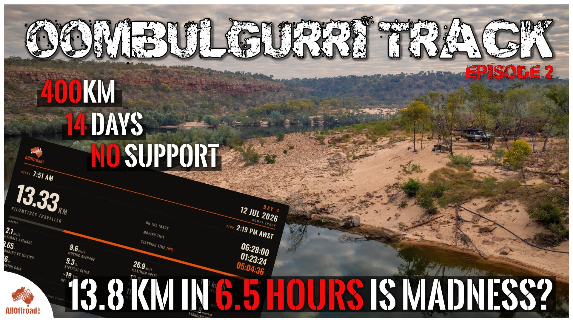
In the next episodes we meet the tagalong crew and start the Oombulgurri track. It's touted as the hardest multi-day four-wheel drive track in Australia. A bit over 400 km, and you take 10 days plus to do it. You can only do it with a professional tour operator and/or a traditional owner. Over the next episodes we find out how hard it really is.